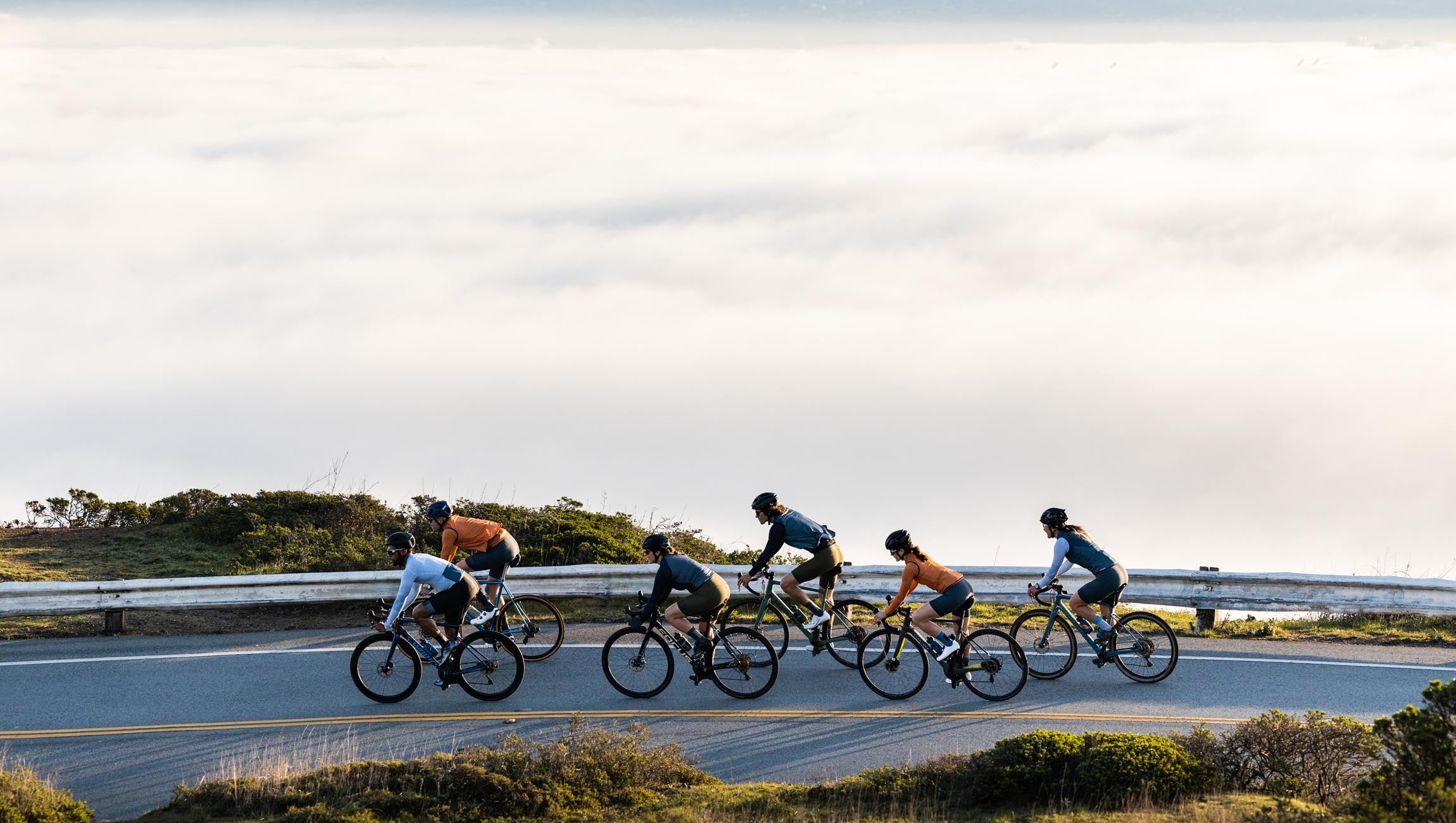
How to beat the fog.
TLDR: 3 mapping resources to check before your ride.San Francisco in known for its fog, which we all refer to as Karl. This Fog comes and goes on a daily basis and shifts hourly. Sometimes you may want to get up "above" the fog and other days you may want to just escape it. We have tools to know exactly where that fog is (or isn't) when you're in and around San Francisco.

Fog.Today
Siri tells us to check this site every morning and since she is a genius, we trust her. This is the best fog map that we've found, and swear by it. The imaging is accurate and has a looping feature to see how the fog is trending.
The screen cap above (taken just 30 min ago) shows fog pretty thick through sf / coast and bay, except for Pacifica! This often happens when the winds are coming from the south. You could go ride planet of the apes. Anyway, fog.today is such a score!
Mt. Tam Live Cam
This may be a series of "live cams" which are useful, but the gold lies in the weather station data lower on the page. Is there an inversion on Tam today? This will let you know. The temp and wind charts from both middle peak and West Point Inn give real time weather info. The screen shot above shows 72 degrees on Tam with winds that just shifted to the east (the weather is changing this weekend)...
Obviously the live cams on this page also show how sunny Tiburon and Sausalito are along with a few other places. This site along with fog.today are a zillion times better than weather.com.
https://www.rntl.net/mttamcam.htm
Twin Peaks Live cam
This one is pretty SF specific, but so is fog. This is 1 live cam just below Twin Peaks and it's pointed Downtown. The foggy pockets in the city can be nuanced and this takes the guesswork out of it.
Now you know if you need to take your Micro Climate Jacket on your next ride, Ornot. (hint - you probably do)


